


GEOSPATIAL FRONTIERS
A Publication by Project Geospatial
LOOKING BEYOND
THE MAP
Geospatial Frontiers, a new publication from Project Geospatial, brings together leading voices and experts from across the geospatial ecosystem to tackle the industry's most pressing challenges. Through in-depth articles and discussions, Geospatial Frontiers aims to explore innovative solutions and spark critical conversations that will shape the future of geospatial technology and its applications.
CONTRIBUTING AUTHORS

Adam Simmons

Keith Barber

Fred Woods

Matthew Husted

Chris Vaughan

Beyond the Map: A First-Timer’s Journey into the GEOINT Ecosystem
Explore a newcomer's journey into the geospatial intelligence ecosystem at the GEOINT Symposium 2026. Former Project Geospatial intern Jessica Calloway shares her firsthand experience on how emerging tech, cutting-edge GeoAI, and a welcoming culture of mentorship are shaping diverse career paths. Discover how the GEOINT community is transforming massive data into actionable clarity and opening doors for fresh perspectives in this Geospatial Frontiers exclusive.
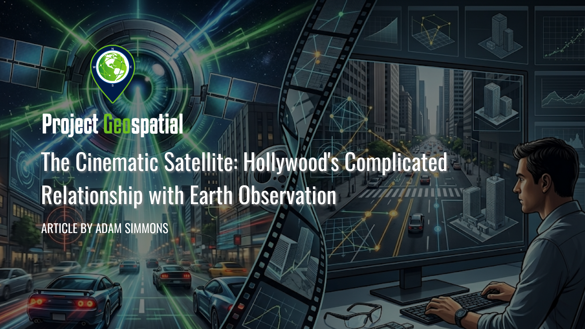
The Cinematic Satellite: Hollywood's Complicated Relationship with Earth Observation
In "Geospatial Intelligence in Hollywood Films," we explore the fascinating divide between Hollywood's thrilling depiction of satellite technology and the complex reality of geospatial intelligence (GEOINT). While blockbuster films often portray Earth Observation (EO) as an omnipotent, real-time surveillance tool capable of tracking moving targets with joystick control, the truth relies on orbital mechanics, optical physics, and the meticulous analysis of static, high-resolution imagery. From the technical blunders of 1990s conspiracy thrillers to the highly accurate portrayals of pattern-of-life analysis in modern cinema, this article dissects the evolution of remote sensing on the silver screen. Discover how the democratization of commercial space data and the rise of Spatial AI are forcing filmmakers to abandon the "magical satellite" trope in favor of the profound, quiet reality faced by real-world geospatial analysts.
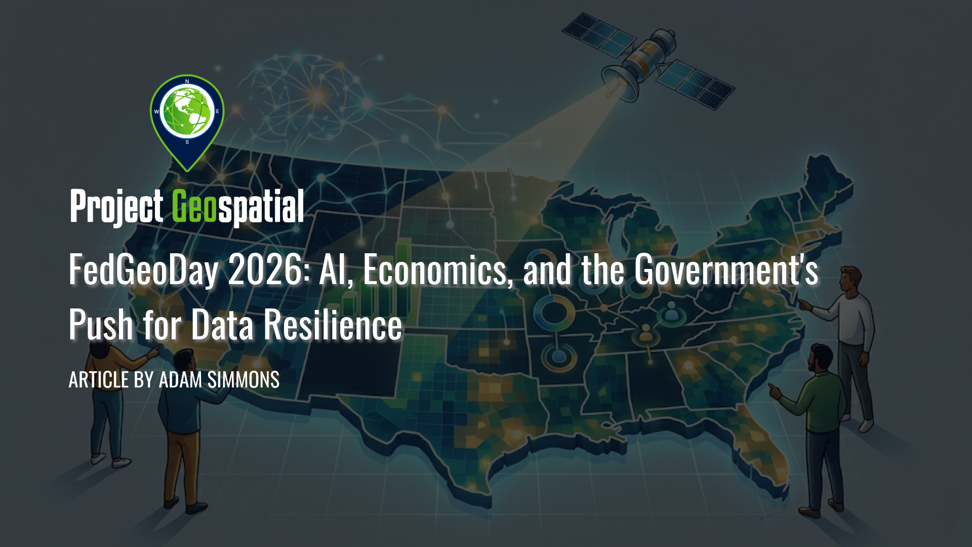
FedGeoDay 2026: AI, Economics, and the Government's Push for Data Resilience
Discover top insights from FedGeoDay 2026. Learn how the federal geospatial community is leveraging AI , open-source tools , and collaborative data resilience to navigate budget constraints and build the future of economic mapping.
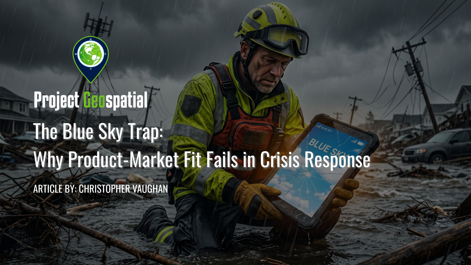
The Blue Sky Trap: Why Product-Market Fit Fails in Crisis Response
Why does cutting-edge tech so often fail when natural disasters strike? In The Blue Sky Trap: Why Product-Market Fit Fails in Crisis Response, industry expert Chris explores the dangerous disconnect between climate-controlled Silicon Valley development and the brutal, offline reality of emergency management. Discover why standard SaaS models crumble in chaotic "Gray Sky" environments and learn the non-negotiable design principles, such as offline-first architecture, low-bandwidth optimization, and standard-adjacent integration, required to build disaster tech that first responders can actually trust. Whether you are a tech founder, product manager, or public safety professional, learn how to avoid the Blue Sky Trap and design resilient tools that save lives when the grid goes down.
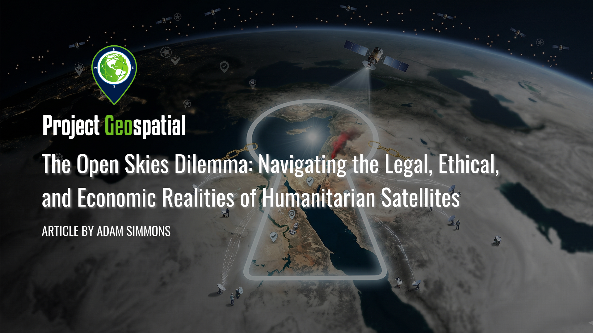
The Open Skies Dilemma: Navigating the Legal, Ethical, and Economic Realities of Humanitarian Satellites
As the democratization of space faces a harsh reality check, the 2026 Middle East geospatial embargo has exposed a critical vulnerability in global transparency. While "New Space" promised an era of irrefutable clarity for human rights monitors, most commercial providers remain inextricably tethered to national security mandates and defense-oriented anchor contracts. This comprehensive investigation deconstructs the legal labyrinth of shutter control, the ethical dual-use dilemmas of high-resolution imagery, and the "Defense Paradox" that currently forces orbital abundance to prioritize military ISR over the public good. Explore how the Common Space initiative is pioneering a radical shift toward community-governed satellites and "club good" financial models to ensure that the "science of where" becomes an unassailable tool for humanitarian resilience rather than state surveillance.
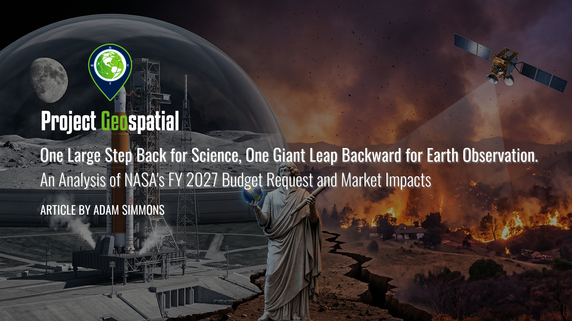
One Large Step Back for Science, One Giant Leap Backward for Earth Observation. An Analysis of NASA's FY 2027 Budget Request and Market Impacts
As federal priorities pivot from terrestrial observation to the Artemis lunar missions and Martian exploration, the geospatial and aerospace industries face a defining inflection point. This analysis explores how the proposed NASA FY 2027 budget’s "deep space first" strategy is dismantling traditional Earth Science funding models, forcing a rapid transition toward commercialized data solutions and decentralized satellite constellations. Discover how these strategic shifts in Earth Observation appropriations are reshaping the future of climate modeling, domestic infrastructure, and the global competitive landscape for aerospace manufacturing.
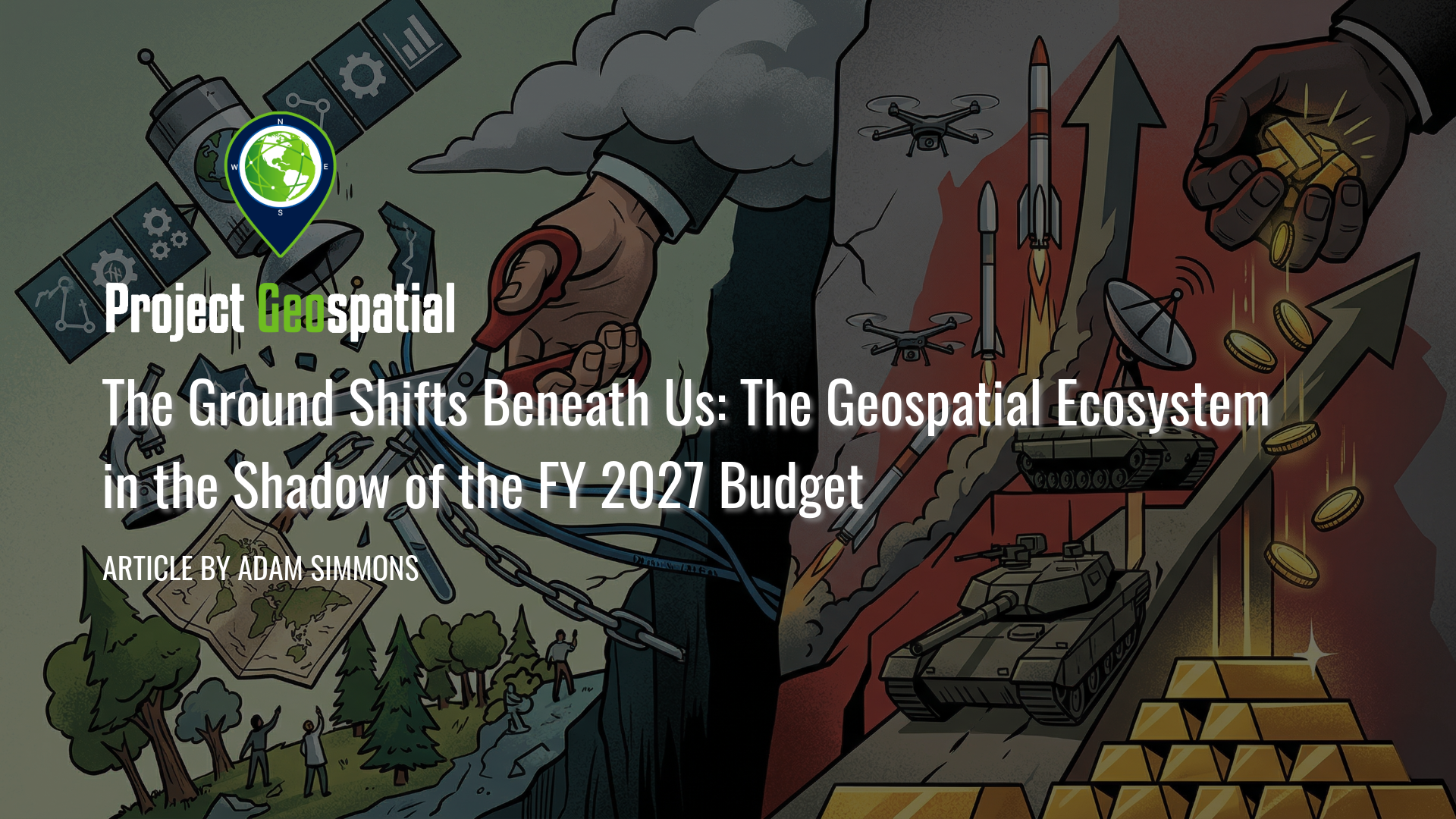
The Ground Shifts Beneath Us: The Geospatial Ecosystem in the Shadow of the FY 2027 Budget
The Fiscal Year 2027 budget request signals a seismic shift in American priorities, proposing a staggering $1.5 trillion for national defense while systematically dismantling decades of civilian Earth science and environmental monitoring. As the administration pivots toward a "Department of War" and aggressive commercial space acquisition , vital programs like NASA’s SERVIR and the USGS Ecosystems Mission Area face total elimination, threatening the foundational data streams that power global food security and domestic disaster response. This comprehensive analysis explores the deepening divide within the geospatial ecosystem, the rise of private-sector intelligence, and the long-term strategic risks of abandoning open-source scientific leadership in the face of intensifying global competition. How will this radical realignment of federal funding redefine the future of spatial awareness and national security?
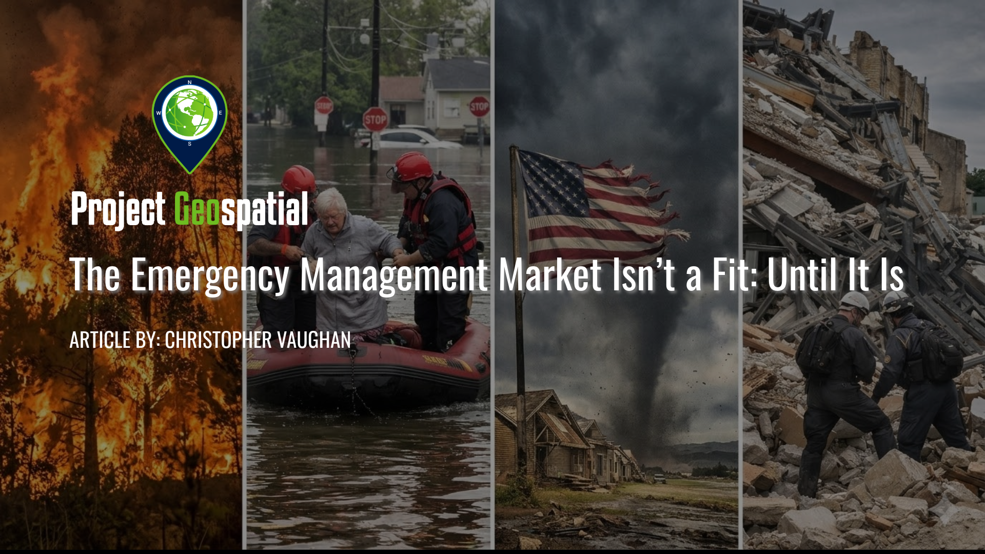
The Emergency Management Market Isn’t a Fit: Until It Is
The emergency management market is often dismissed by tech founders and investors as a "slow" and "bureaucratic" sector. However, as disasters become more frequent and expensive, this $137 billion "sleeping giant" is rapidly evolving into a mission-critical landscape. This article explores the shift from outdated "boots-on-the-ground" processes to high-velocity geospatial analytics and AI-driven assessments that shorten the gap between a survivor's worst day and their first recovery check. Learn why readiness matters, how to achieve true product-market fit in a crisis, and why the "unattractive" EM market is the only one that truly matters when the sirens start.
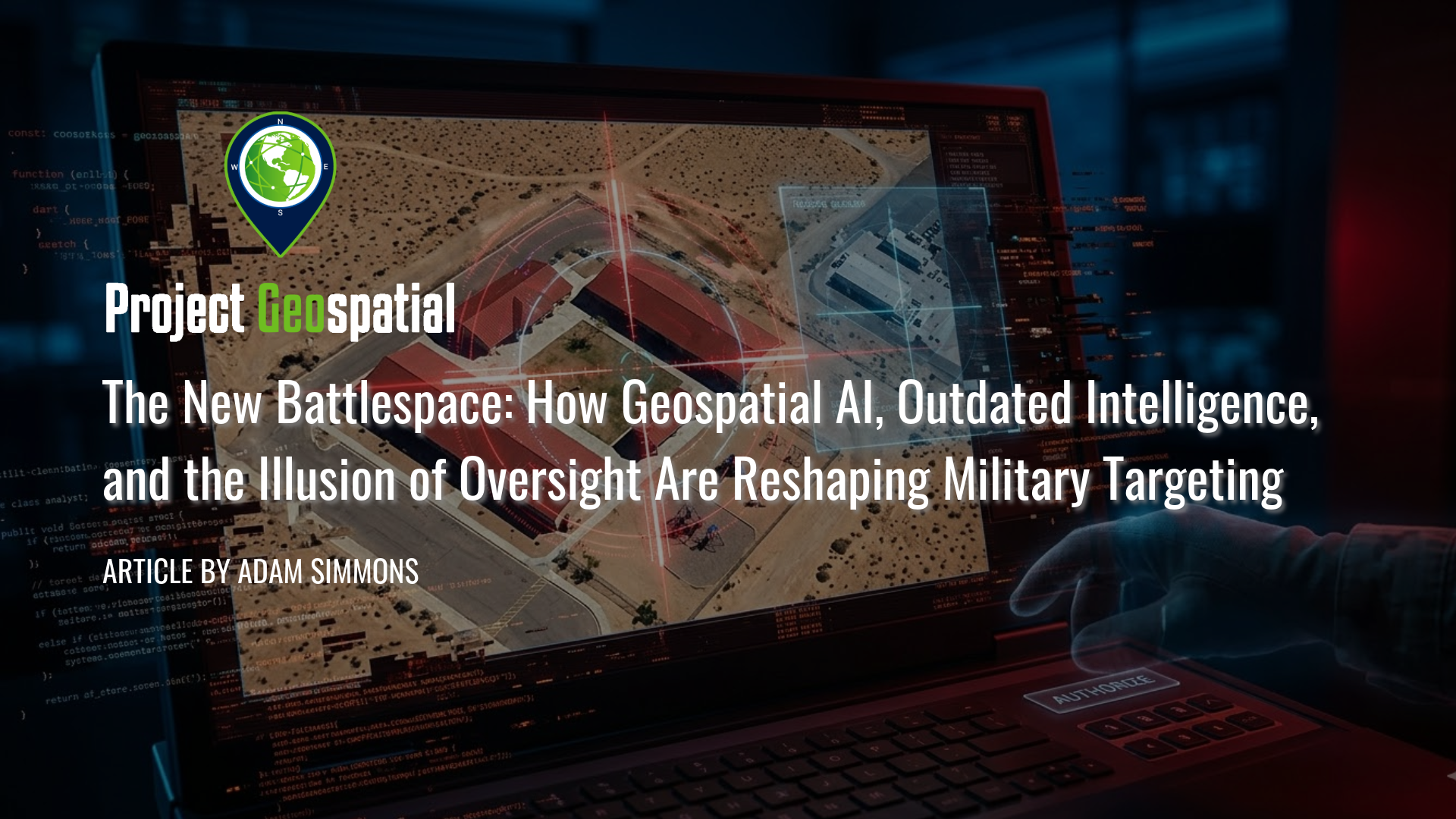
The New Battlespace: How Geospatial AI, Outdated Intelligence, and the Illusion of Oversight Are Reshaping Military Targeting
In this critical analysis of the new algorithmic battlespace, we explore how Geospatial AI and scaling failures are driving catastrophic military targeting errors. Prompted by the tragic civilian strike in Minab, Iran, this article dissects the fatal intersection of Defense Intelligence Agency (DIA) database rot, the outdated Modernized Integrated Database (MIDB), and automated kill chains. Discover how the military's aggressive push for AI target generation has fundamentally broken the "human-in-the-loop" safeguard, reducing traditional intelligence vetting to an illusion of oversight. By examining the psychological toll of cognitive offloading and automated bureaucracy, we reveal why overwhelming human analysts with algorithmic output doesn't just risk mass civilian casualties and fratricide, it weaponizes administrative failure.
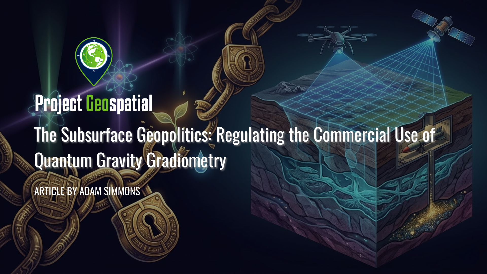
The Subsurface Geopolitics: Regulating the Commercial Use of Quantum Gravity Gradiometry
As Quantum Gravity Gradiometry (QGG) renders the Earth’s crust functionally transparent, a high-stakes geopolitical battle is emerging over the regulation of the subsurface. This article explores the tension between the commercial promise of uncovering critical minerals and tracking climate change against the national security risks of exposing clandestine military assets. Discover how international frameworks and "shutter control" policies are evolving to manage this revolutionary sensing technology, where the ability to see deep underground is transforming global transparency, resource competition, and strategic stability.
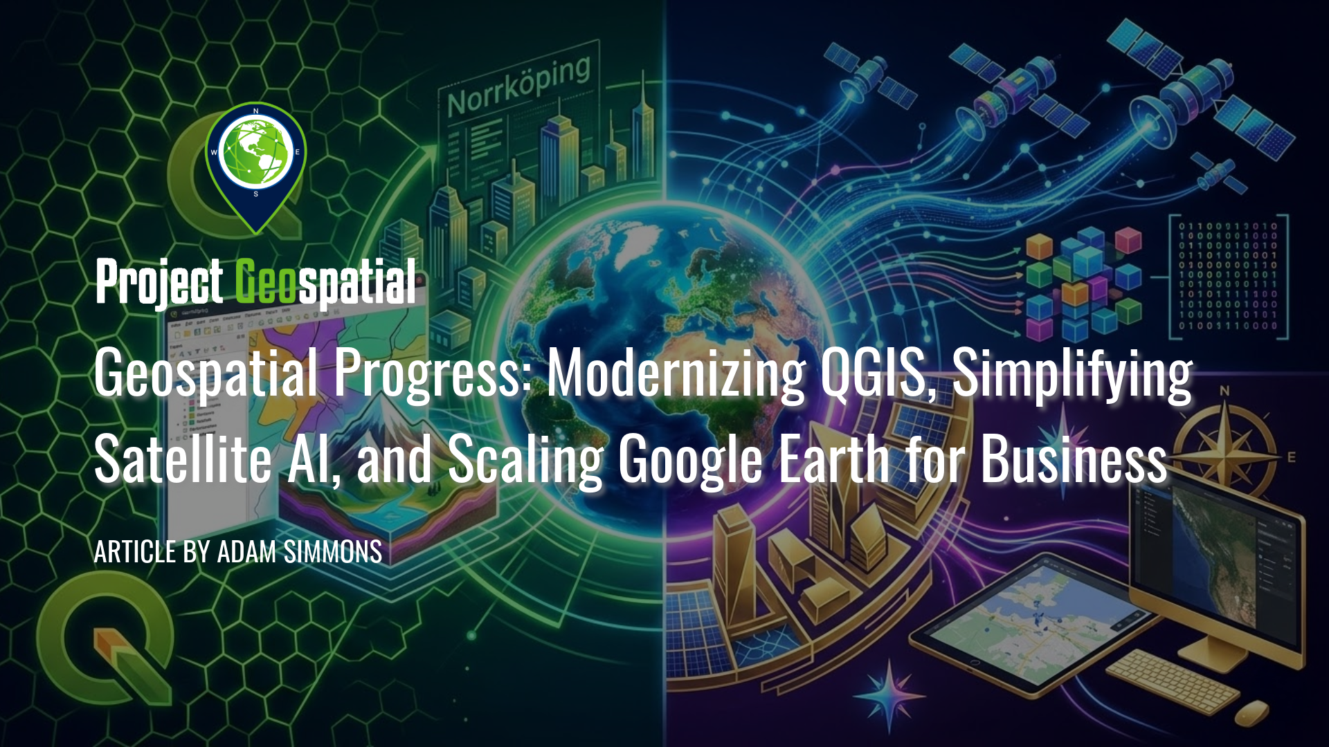
Geospatial Progress: Modernizing QGIS, Simplifying Satellite AI with Alpha Earth, and Scaling Google Earth for Business
The geospatial industry witnessed a transformative week with three major announcements that bridge the gap between open-source legacy and AI-driven enterprise intelligence. Leading the charge is the long-awaited release of QGIS 4.0 "Norrköping," a massive structural leap that migrates the premier open-source desktop GIS to the Qt6 framework for superior performance and security. Simultaneously, Google DeepMind unveiled its 2025 AlphaEarth Foundations update, introducing 64-dimensional satellite embeddings that allow developers to "see through" cloud cover and decode complex planetary variables with unprecedented mathematical precision. Finally, Google Earth officially transitioned into a powerful business ecosystem with the launch of its Professional and Professional Advanced tiers, integrating Gemini-powered "agentic" AI and domain-specific data layers for high-stakes urban planning and sustainability workflows. Together, these releases signal a new era where raw planetary data is no longer a bottleneck but an analysis-ready instrument for global decision-making.
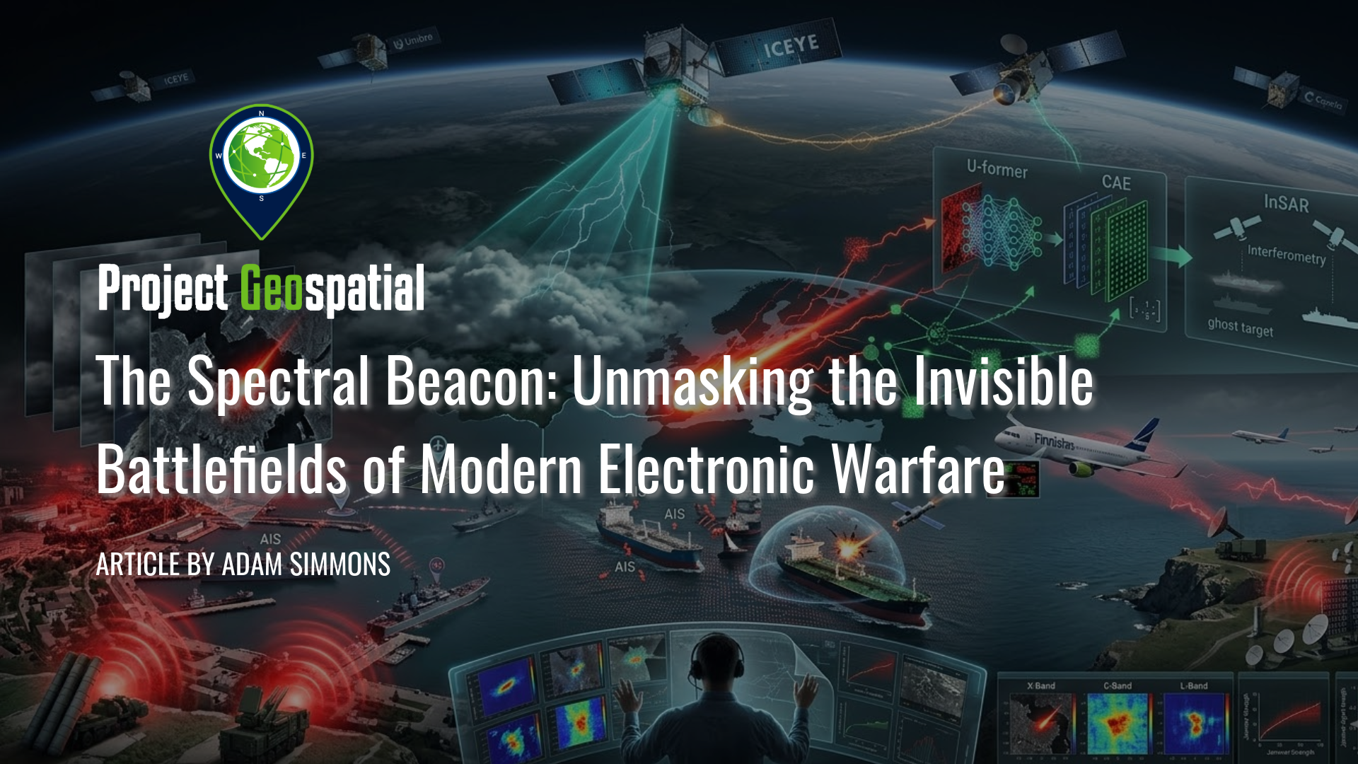
The Spectral Beacon: Unmasking the Invisible Battlefields of Modern Electronic Warfare
Explore how advanced Electronic Warfare (EW) is reshaping modern conflict, from disrupting satellite signals and misdirecting global shipping to the subtle use of AI in spectral warfare. As the world grows increasingly dependent on GPS and other critical RF bands, the contest for spectral dominance moves beyond science fiction into a very real and present national security imperative. This deep dive into the technology and tactics of invisible conflict reveals how electronic signals can disable high-tech forces without firing a single bullet.
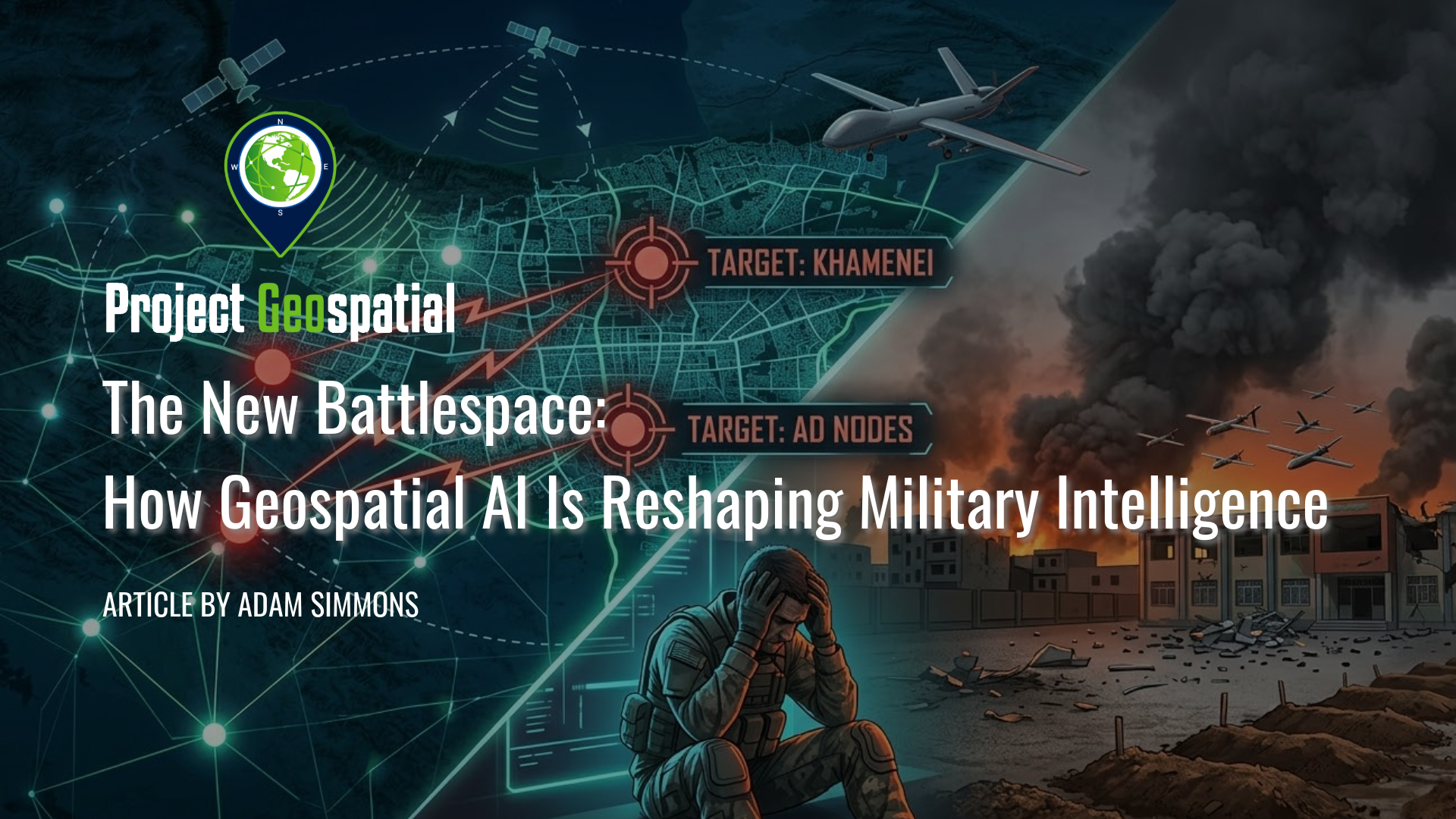
The New Battlespace: How Geospatial AI Is Reshaping Military Intelligence
The 2026 conflict in Iran marks a terrifying turning point in military history: the birth of the algorithmic battlespace. Through Operation Epic Fury, the United States and Israel have deployed a "kill web" driven by Geospatial AI, compressing decision-making from weeks to mere seconds. While systems like Project Maven and autonomous drone swarms offer unprecedented tactical precision, the human cost remains devastatingly high, evidenced by the tragic Minab school bombing and the growing psychological toll on remote operators. As Silicon Valley giants like Anthropic and Palantir clash over the ethics of AI-driven warfare, the world faces a fractured global economy and a new reality where machine-speed violence outpaces human thought.
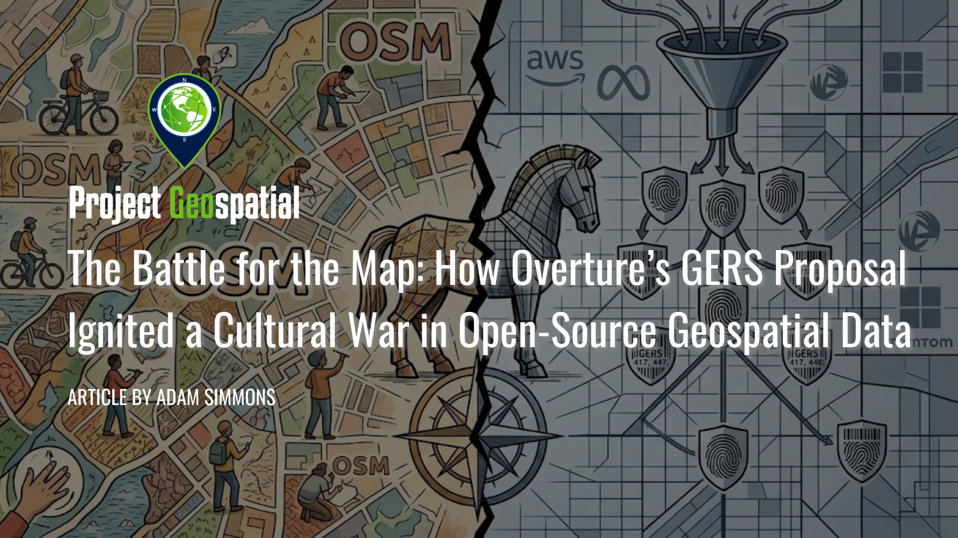
The Battle for the Map: How Overture’s GERS Proposal Ignited a Cultural War in Open-Source Geospatial Data
In early 2026, the geospatial industry reached a critical turning point as the Open Geospatial Consortium (OGC) considered adopting the Global Entity Reference System (GERS)—a framework backed by the Overture Maps Foundation (Amazon, Meta, Microsoft, and TomTom)—as an international community standard. Designed to eliminate the costly "conflation tax" by assigning persistent, unique identifiers to billions of real-world entities, GERS promises to revolutionize spatial data integration for enterprise and Spatial AI applications. However, the proposal has ignited a fierce rebellion within the OpenStreetMap (OSM) community, where critics warn of corporate enclosure, opaque governance, and a "pay-to-play" $300,000 membership model. While industry giants view GERS as a vital tool for digital twin interoperability, open-source advocates highlight technical failures—including a 20% ID churn rate—arguing that the system threatens to render decentralized, volunteer-driven mapping obsolete in the modern data economy.
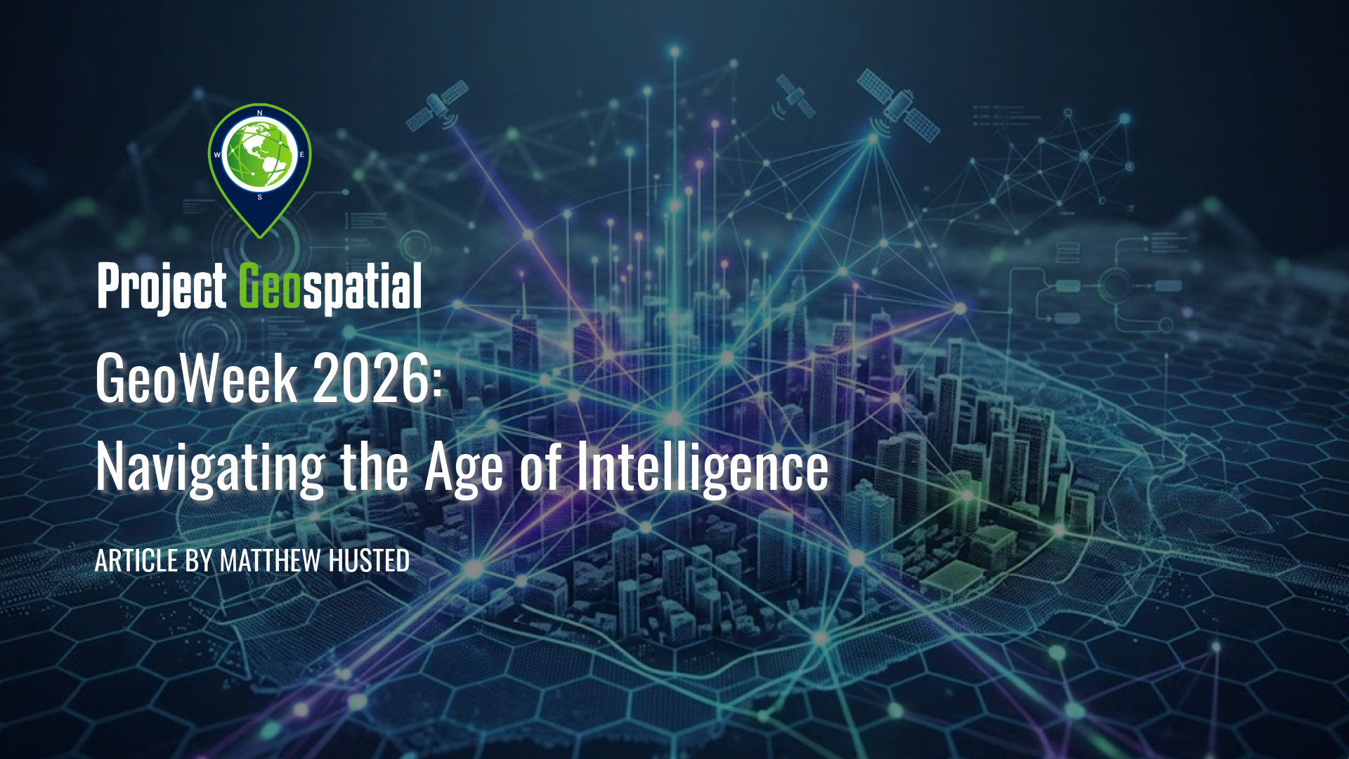
Geo Week 2026: Navigating the Age of Intelligence
Step inside Geo Week 2026 as the geospatial industry shifts from static GIS to dynamic Spatial Intelligence. From the latest advancements in AI and Reality Capture to navigating the industry's 'Workforce Paradox,' explore one veteran's journey into the future of the built world and learn why in-person networking remains the ultimate key to launching your geospatial career.
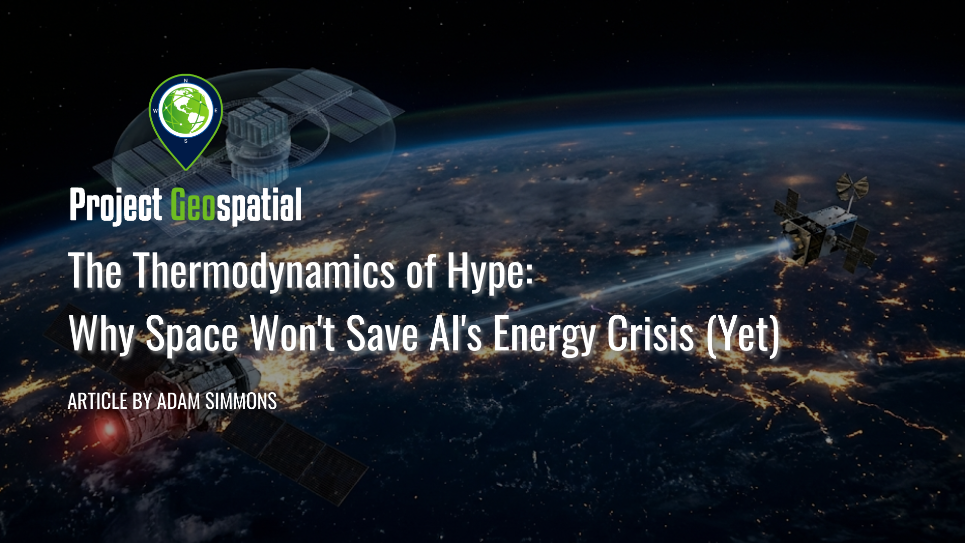
The Thermodynamics of Hype: Why Space Won't Save AI's Energy Crisis (Yet)
Discover why the collision between the AI sector's accelerating energy demands and the commercial space economy is generating massive hype, and why a harsh thermodynamic reality check is required. While venture capital chases the mirage of orbital data centers and space-based solar power, the physics of vacuum heat rejection and lengthy deployment timelines make these near-term fantasies. Instead, uncover the true, highly profitable foundations of the 2026 space age: leveraging advanced Geospatial Intelligence (GEOINT) and physical AI to optimize strained terrestrial energy grids, deploying hyper-efficient edge compute architectures, and scaling nuclear microreactors for resilient orbital operations. Cut through the pitch-deck promises and explore the unglamorous, deep-tech infrastructure actively solving the bottlenecks of the physical economy.
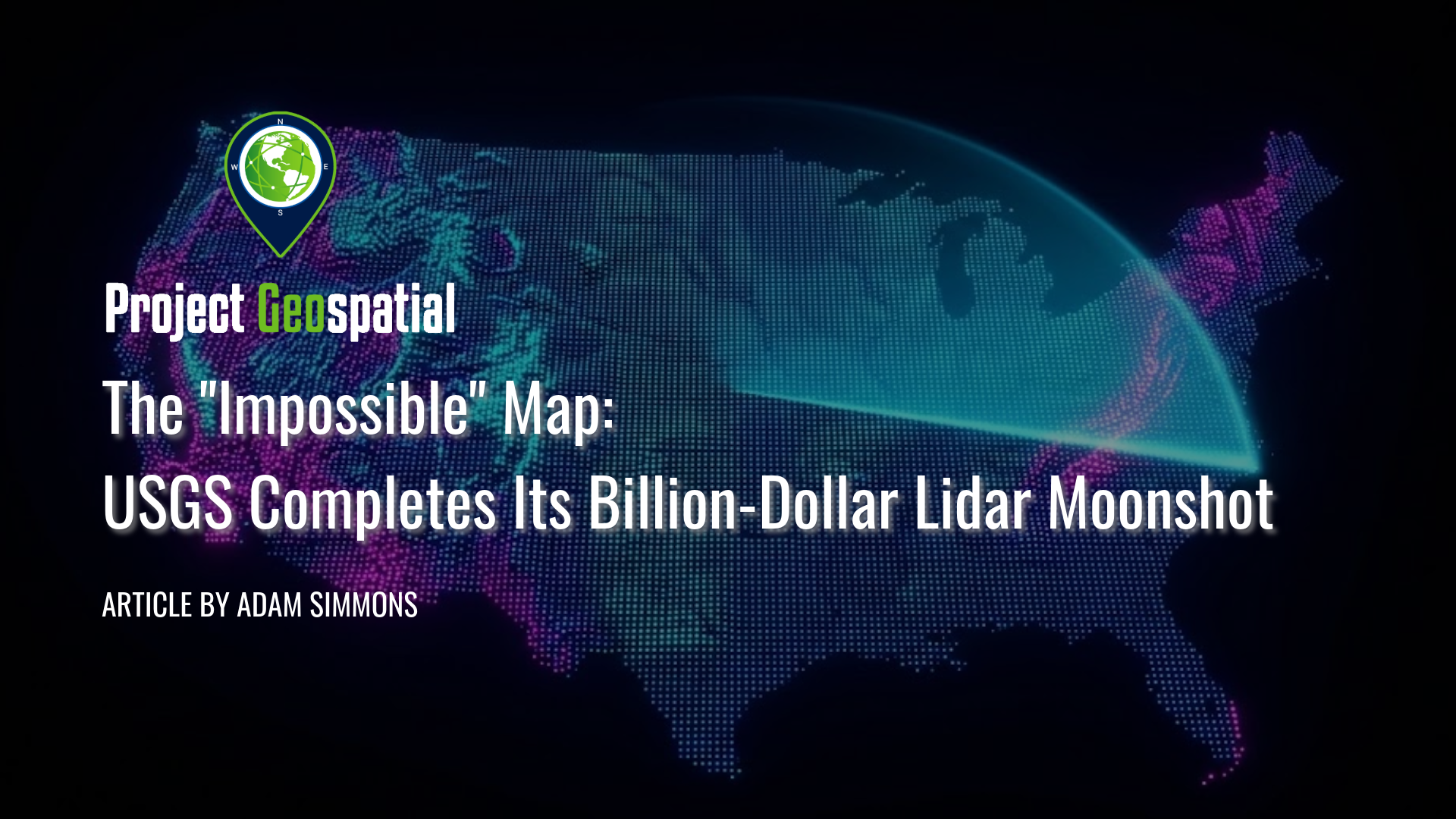
The "Impossible" Map: USGS Completes Its Billion-Dollar Lidar Moonshot
At Geo Week 2026, the USGS officially announced the completion of its decade-long "moonshot": the 3D Elevation Program (3DEP) baseline. This monumental $1 billion collaborative effort successfully mapped the entire United States with high-resolution lidar, creating the first continuous national "digital twin" of the country’s topography. Dive into how this unprecedented dataset was built through a "coalition of the willing" and discover how it is already revolutionizing everything from flood modeling to infrastructure planning.
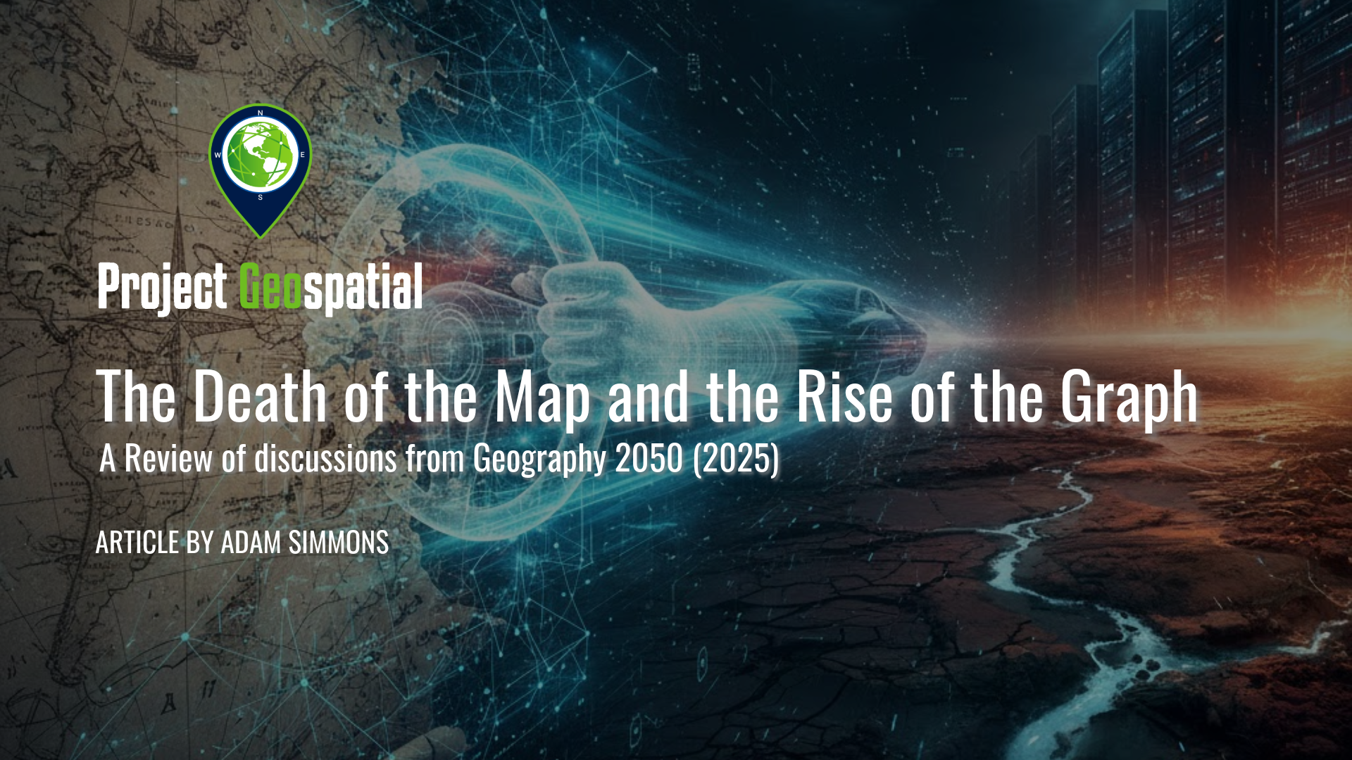
The Death of the Map: A Post-Mortem on Geography 2050
The "Geography 2050: The Future of GeoAI" symposium, held in late 2025, captured a discipline at a violent tipping point. This post-mortem analysis of the event explores the "death of the map" and the rise of the graph, highlighting a growing identity crisis as traditional location science is hollowed out by raw engineering. By examining the tension between academic theory and the unbridled scale of AI compute, the article dives into why the geospatial community must bridge the gap between automated optimization and human-centric truth. It is a critical look at whether the industry can maintain its "geographical conscience" or if it is destined to become a mere subset of data science.
The Case for the Resilient Foundation: Why Innovation Needs a Floor
Explore the critical balance between modern cloud-native GIS and the resilient foundation of legacy formats. In this article, Adam Simmons argues that while formats like GeoParquet offer high-tech efficiency, foundational tools like Shapefiles and GeoTIFFs remain the essential 'universal translators' for mission success, interoperability, and data democracy. Discover why the future of geospatial innovation still requires a solid operational floor to support its digital ceiling.
The Heat Signal: Economic Reality, Narrative Drift, and the Crisis of Identity in Commercial Infrared Earth Observation
As the commercial Earth Observation (EO) market matures in 2026, a critical realization is taking hold: the planet's most valuable economic signal isn't what it looks like, but the energy it emits. This deep-dive analysis critiques the current state of the Infrared Satellite Imaging Industry, using SatVu as a primary case study of how a 'climate-first' narrative is obscuring the trillion-dollar potential of the night-time economy and industrial monitoring. We also dissect Albedo Space’s seismic pivot from commercial imagery to VLEO hardware, a move that exposes the fragile economics of the “data-as-a-service” model. From measuring refinery output in the dark to verifying sovereign capabilities, discover why the future of geospatial intelligence depends on shifting from selling pixels to selling thermodynamic truth.